This is an accessible version of a virtual tour. It uses high-contrast colors and plain, well-structured HTML and may be used with screen readers. For more information about the standards implemented by this page, please visit the Web Accessibility Initiative by W3C.
For more information about this experience, please contact the creator.
This scene is a image/jpeg type of scene.
It has links to these scenes:
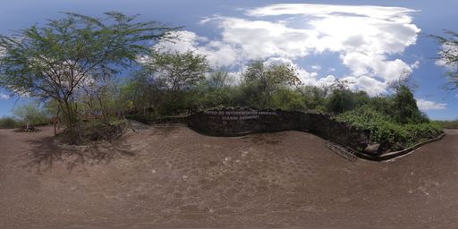
Immersive 360-degree image showing the route toward the Cerro Tijeretas Interpretation Center. Points of interest about local plant species can be seen. via a hotspot placed at {"x":1185.72501732342,"y":-185.31146540310064,"z":4903.300165240556}
It also may have rich content in the form of Infospots.
A ext infospot which contains
{"h1":"Cerro Tijeretas","h2":"Cerro Tijeretas on San Cristóbal, Galápagos, is an iconic lookout point with walking trails, famous for frigatebird (tijereta) sightings, unmatched panoramic views, spectacular snorkeling, and the Darwin statue."}
A image infospot which contains
{"caption":"Educational image of the Interpretation Center. A building surrounded by vegetation is shown, with references to exhibits on natural history and human history. Presents this space as a place to learn about the origin, biodiversity, and culture of the islands.","previewText":"Infographic: Interpretation Center","image":{"userId":133447,"assetId":"Qss3Yb3MM","name":"CIAGA.png","url":"https://gc.360-data.com/assets/133447/133447-iq2IjqXgOE-infospot.png","thumbUrl":"https://gc.360-data.com/assets/133447/133447-iq2IjqXgOE-thumb.png","assetType":"image","createdDate":null,"updatedDate":null,"shared":false,"copyCount":0,"numberOfUsesByTheOwner":0,"id":267782,"lastModifiedDate":"2026-06-23T03:24:46.240Z"}}
A image infospot which contains
{"caption":"Educational image of the mesquite tree. A wide-canopied tree is shown in an arid coastal landscape, with details of yellowish flowers, seed pods, compound leaves, and tough bark. Highlights its importance as a source of shade, food, and shelter for various species.","previewText":"Infographic: Mesquite tree","image":{"userId":133447,"assetId":"c9fIrBvzX","name":"MESQUITE.png","url":"https://gc.360-data.com/assets/133447/133447-M7hr0eZ2ce-infospot.png","thumbUrl":"https://gc.360-data.com/assets/133447/133447-M7hr0eZ2ce-thumb.png","assetType":"image","createdDate":null,"updatedDate":null,"shared":false,"copyCount":0,"numberOfUsesByTheOwner":0,"id":267781,"lastModifiedDate":"2026-06-23T03:24:18.200Z"}}
This scene is a image/jpeg type of scene.
It has links to these scenes:
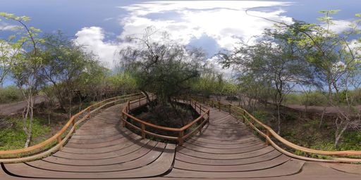
Immersive 360-degree image showing the pedestrian entrance to the Cerro Tijeretas Interpretation Center. Points of interest about local plant species can be seen. via a hotspot placed at {"x":2567.7672333726355,"y":-1271.740474806097,"z":4155.403653217265}
Immersive 360-degree image showing the access path to the Cerro Tijeretas Interpretation Center. Points of interest can be seen to begin or continue the route, or to explore local plant species. via a hotspot placed at {"x":4665.710260280032,"y":-977.0887521933159,"z":-1659.3755631515098}
It also may have rich content in the form of Infospots.
A image infospot which contains
{"caption":"Educational image of palo verde. A tree with a green trunk and slender branches is seen in an arid coastal environment. Presents its adaptations to drought, salinity, and wind, and its function as shelter and food for wildlife.","previewText":"Infographic: Palo verde","image":{"userId":133447,"assetId":"Qv98RbekJ","name":"JERUSALEMTHORN.png","url":"https://gc.360-data.com/assets/133447/133447-hxNLe6NAbz-infospot.png","thumbUrl":"https://gc.360-data.com/assets/133447/133447-hxNLe6NAbz-thumb.png","assetType":"image","createdDate":null,"updatedDate":null,"shared":false,"copyCount":0,"numberOfUsesByTheOwner":0,"id":267783,"lastModifiedDate":"2026-06-23T03:26:40.519Z"}}
This scene is a image/jpeg type of scene.
It has links to these scenes:
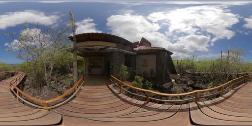
Immersive 360-degree image showing the Cerro Tijeretas Interpretation Center. Points of interest to continue the route and a map of the area can be seen. via a hotspot placed at {"x":3768.4250952009124,"y":-1402.8653770409567,"z":3052.0625124520575}
Immersive 360-degree image showing the route toward the Cerro Tijeretas Interpretation Center. Points of interest about local plant species can be seen. via a hotspot placed at {"x":-4238.5843867786625,"y":-1073.9604129302238,"z":2519.893749963159}
It also may have rich content in the form of Infospots.
A image infospot which contains
{"caption":"Educational image of the candelabro cactus. A tall, branching cactus is seen in a dry ecosystem, with details of white flowers, fruits, and spines. Presents its adaptations for water storage and its value as food and shelter for other species.","previewText":"Infographic: Candelabro Cactus","image":{"userId":133447,"assetId":"bTceaREvA","name":"CHANDELABRA.png","url":"https://gc.360-data.com/assets/133447/133447-J6WGumf1d6-infospot.png","thumbUrl":"https://gc.360-data.com/assets/133447/133447-J6WGumf1d6-thumb.png","assetType":"image","createdDate":null,"updatedDate":null,"shared":false,"copyCount":0,"numberOfUsesByTheOwner":0,"id":267784,"lastModifiedDate":"2026-06-23T03:28:05.672Z"}}
This scene is a image/jpeg type of scene.
It has links to these scenes:
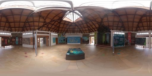
Immersive 360-degree image showing the exterior of the Interpretation Center. Points of interest to continue the route and information about local plant species can be seen. via a hotspot placed at {"x":3930.2438468484543,"y":563.896022632064,"z":-3116.1980905656596}
Immersive 360-degree image showing the pedestrian entrance to the Cerro Tijeretas Interpretation Center. Points of interest about local plant species can be seen. via a hotspot placed at {"x":663.0780664932878,"y":-1095.6844757842216,"z":4882.679578123506}
It also may have rich content in the form of Infospots.
A ext infospot which contains
{"h1":"Map","h2":"Information about the islands and the characteristic species that can be found there."}
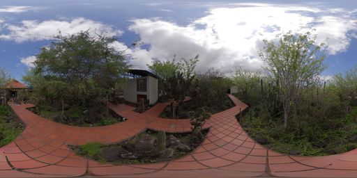
This scene is a image/jpeg type of scene.
It has links to these scenes:
Immersive 360-degree image showing the concert and event area at the Interpretation Center. A point of interest about the Festival of the Sea can be seen. via a hotspot placed at {"x":2732.8530973985044,"y":-960.2332511596684,"z":4133.681621388493}
Immersive 360-degree image showing the Cerro Tijeretas Interpretation Center. Points of interest to continue the route and a map of the area can be seen. via a hotspot placed at {"x":-4829.9504046478405,"y":-1087.0315145624104,"z":983.582546691041}
Immersive 360-degree image continuing through the Interpretation Center. Points of interest to move forward along the route can be seen. via a hotspot placed at {"x":3139.298831975198,"y":-306.57318500864693,"z":-3939.9029289500318}
It also may have rich content in the form of Infospots.
A image infospot which contains
{"caption":"Educational image of the opuntia cactus. A cactus with flat, fleshy pads is shown in a dry environment, with yellow flowers, fruits, and spines. Presents its adaptations to drought and its importance as food and shelter for birds, reptiles, and insects.","previewText":"Infographic: Opuntia Cactus","image":{"userId":133447,"assetId":"L2_u81Xf2","name":"PRICKLYPEARCACTUS.png","url":"https://gc.360-data.com/assets/133447/133447-WXzpWdLfMD-infospot.png","thumbUrl":"https://gc.360-data.com/assets/133447/133447-WXzpWdLfMD-thumb.png","assetType":"image","createdDate":null,"updatedDate":null,"shared":false,"copyCount":0,"numberOfUsesByTheOwner":0,"id":267785,"lastModifiedDate":"2026-06-23T03:32:13.420Z"}}
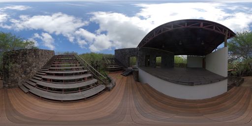
This scene is a image/jpeg type of scene.
It has links to these scenes:
Immersive 360-degree image showing the exterior of the Interpretation Center. Points of interest to continue the route and information about local plant species can be seen. via a hotspot placed at {"x":-4666.762180332398,"y":-1848.8480178535574,"z":-531.1256015456131}
It also may have rich content in the form of Infospots.
A image infospot which contains
{"caption":"The Galápagos Sea Festival is a unique cultural event that combines art and conservation, promotes social inclusion and gender equality, and offers an unforgettable experience for all who attend.","previewText":"Festival Del Mar/Sea Festival","image":{"userId":133447,"assetId":"Q-T7kE6kO","name":"FDM.jpg","url":"https://gc.360-data.com/assets/133447/133447-rivVnAkYK--infospot.jpg","thumbUrl":"https://gc.360-data.com/assets/133447/133447-rivVnAkYK--thumb.jpg","assetType":"image","createdDate":null,"updatedDate":null,"shared":false,"copyCount":0,"numberOfUsesByTheOwner":0,"id":263589,"lastModifiedDate":"2026-05-14T02:54:31.620Z"}}
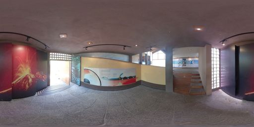
This scene is a image/jpeg type of scene.
It has links to these scenes:
Immersive 360-degree image continuing through the Interpretation Center. Points of interest to move forward along the route can be seen while learning about different characteristics of Galápagos. via a hotspot placed at {"x":387.10803620312754,"y":-439.5170492248633,"z":-5013.505770728344}
Immersive 360-degree image showing the exterior of the Interpretation Center. Points of interest to continue the route and information about local plant species can be seen. via a hotspot placed at {"x":-1864.6904974198371,"y":-1320.1269564940005,"z":4500.824341780294}
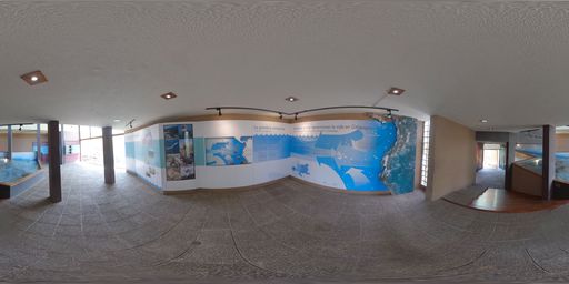
This scene is a image/jpeg type of scene.
It has links to these scenes:
Immersive 360-degree image continuing through the Interpretation Center. Points of interest to move forward along the route can be seen while learning about the discovery of Galápagos. via a hotspot placed at {"x":-3847.515269619442,"y":-794.294565780234,"z":3172.5265009613495}
Immersive 360-degree image continuing through the Interpretation Center. Points of interest to move forward along the route can be seen. via a hotspot placed at {"x":-3177.1252753187364,"y":-1613.2878019466104,"z":-3574.2855078948996}
It also may have rich content in the form of Infospots.
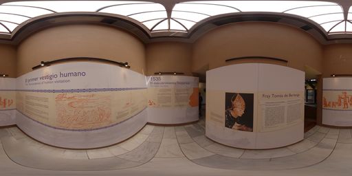
This scene is a image/jpeg type of scene.
It has links to these scenes:
Immersive 360-degree image continuing through the Interpretation Center. Points of interest to move forward along the route can be seen while learning about different characteristics of Galápagos. via a hotspot placed at {"x":4281.721883516396,"y":-1544.6702150836309,"z":-2181.17733404556}
Immersive 360-degree image continuing through the Interpretation Center. Points of interest to move forward along the route can be seen while learning about the claiming of Galápagos. via a hotspot placed at {"x":-3607.177918217902,"y":-1374.113943637954,"z":-3252.9342072044356}
It also may have rich content in the form of Infospots.
A image infospot which contains
{"caption":"León Dormido es una de las formaciones rocosas más icónicas del archipiélago de Galápagos.","previewText":"Vista aérea","image":{"userId":133447,"assetId":"kpZ0k0lkB","name":"leon-dormido-2.jpg","url":"https://gc.360-data.com/assets/133447/133447-Q1q9qm_Sw3Jl-infospot.jpg","thumbUrl":"https://gc.360-data.com/assets/133447/133447-Q1q9qm_Sw3Jl-thumb.jpg","assetType":"image","createdDate":"2026-03-11T20:22:50.863Z","updatedDate":"2026-03-11T20:22:50.863Z","shared":false,"copyCount":0,"numberOfUsesByTheOwner":0}}
A html infospot which contains
the title of Recorrido aéreo and content
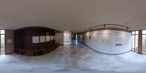
This scene is a image/jpeg type of scene.
It has links to these scenes:
Immersive 360-degree image continuing through the Interpretation Center. Points of interest to move forward along the route can be seen while learning about the discovery of Galápagos. via a hotspot placed at {"x":4820.182795335996,"y":-733.7459219453702,"z":1305.9560978688396}
Immersive 360-degree image continuing through the Interpretation Center. Points of interest to move forward along the route can be seen while learning about the history of Galápagos in the 20th century. via a hotspot placed at {"x":5007.719571619267,"y":-526.7579279516809,"z":-357.06115960733655}
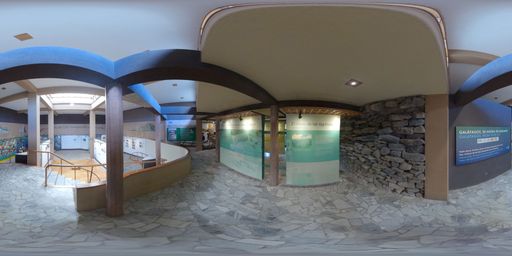
This scene is a image/jpeg type of scene.
It has links to these scenes:
Immersive 360-degree image continuing through the Interpretation Center. Points of interest to move forward along the route can be seen while learning about the claiming of Galápagos. via a hotspot placed at {"x":4273.847169593765,"y":-428.67936510540414,"z":2652.186654611754}
Immersive 360-degree image continuing through the Interpretation Center. Points of interest to move forward along the route can be seen while learning about the population of Galápagos. via a hotspot placed at {"x":-3170.8227956224455,"y":-1356.6757934901823,"z":3685.8207831635236}
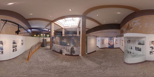
This scene is a image/jpeg type of scene.
It has links to these scenes:
Immersive 360-degree image continuing through the Interpretation Center. Points of interest to move forward along the route can be seen while learning about ecological issues in Galápagos. via a hotspot placed at {"x":3244.6580726117263,"y":-1445.6624065416559,"z":-3585.5542662949483}
Immersive 360-degree image continuing through the Interpretation Center. Points of interest to move forward along the route can be seen while learning about the history of Galápagos in the 20th century. via a hotspot placed at {"x":366.90388007919296,"y":-243.6733004029554,"z":5028.728990931557}
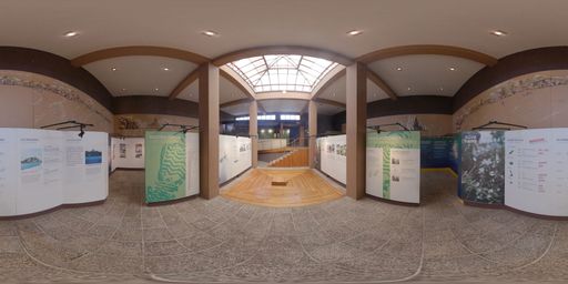
This scene is a image/jpeg type of scene.
It has links to these scenes:
Immersive 360-degree image continuing through the Interpretation Center. Points of interest to move forward along the route can be seen while learning about tourism in Galápagos. via a hotspot placed at {"x":-528.4515637518751,"y":-1110.5880436057173,"z":-4895.018088364663}
Immersive 360-degree image continuing through the Interpretation Center. Points of interest to move forward along the route can be seen while learning about the population of Galápagos. via a hotspot placed at {"x":-697.3134806452075,"y":-1225.5237647863426,"z":4846.468728452602}
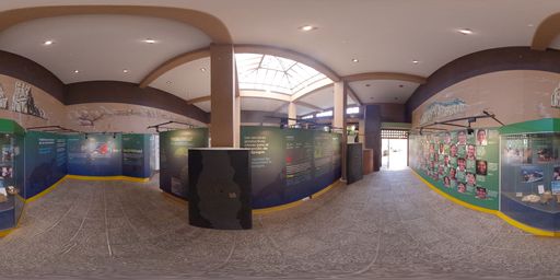
This scene is a image/jpeg type of scene.
It has links to these scenes:
Immersive 360-degree image showing the route toward the Cerro Tijeretas viewpoint. Points of interest about local fauna can be seen. via a hotspot placed at {"x":2323.974111881739,"y":-264.61862516474287,"z":-4472.069595560857}
Immersive 360-degree image continuing through the Interpretation Center. Points of interest to move forward along the route can be seen while learning about ecological issues in Galápagos. via a hotspot placed at {"x":370.49578947975,"y":-657.6594089837288,"z":4990.9431537554765}
It also may have rich content in the form of Infospots.
A image infospot which contains
{"caption":"El manzanillo es un árbol nativo costero en Galápagos, conocido por su savia lechosa y frutos altamente tóxicos. Es esencial para evitar erosión, siendo inofensivo solo para tortugas gigantes.","previewText":"Árbol de manzanillo","image":{"userId":133447,"assetId":"X_hGVZT-B","name":"manzanillo.jpg","url":"https://gc.360-data.com/assets/133447/133447-3rAiUVTfBDVH-infospot.jpg","thumbUrl":"https://gc.360-data.com/assets/133447/133447-3rAiUVTfBDVH-thumb.jpg","assetType":"image","createdDate":"2026-03-18T22:33:59.333Z","updatedDate":"2026-03-18T22:33:59.333Z","shared":false,"copyCount":0,"numberOfUsesByTheOwner":0}}
A image infospot which contains
{"caption":"Las tortugas marinas en Galápagos, principalmente la tortuga verde, son especies clave que anidan y habitan en el archipiélago, protegidas por su alto valor ecológico y turistico.","previewText":"Tortuga marina","image":{"userId":133447,"assetId":"t8zsgl7gc","name":"Green sea turtle.jpg","url":"https://gc.360-data.com/assets/133447/133447-kukLYtDbNVOM-infospot.jpg","thumbUrl":"https://gc.360-data.com/assets/133447/133447-kukLYtDbNVOM-thumb.jpg","assetType":"image","createdDate":"2026-03-18T23:06:49.180Z","updatedDate":"2026-03-18T23:06:49.180Z","shared":false,"copyCount":0,"numberOfUsesByTheOwner":0}}
A image infospot which contains
{"caption":"","previewText":"Infografía: árboles endémicos","image":{"userId":133447,"assetId":"ptlR-yeUV","name":"info-fauna.jpg","url":"https://gc.360-data.com/assets/133447/133447-PLxeCHTb6zom-infospot.jpg","thumbUrl":"https://gc.360-data.com/assets/133447/133447-PLxeCHTb6zom-thumb.jpg","assetType":"image","createdDate":"2026-03-18T22:38:24.640Z","updatedDate":"2026-03-18T22:38:24.640Z","shared":false,"copyCount":0,"numberOfUsesByTheOwner":0}}
A image infospot which contains
{"caption":"Las tortugas marinas en Galápagos, principalmente la tortuga verde, son especies clave que anidan y habitan en el archipiélago, protegidas por su alto valor ecológico y turistico.","previewText":"Tortuga marina","image":{"userId":133447,"assetId":"zGZ9UIf-2","name":"Green Turtle (Chelonia mydas).jpg","url":"https://gc.360-data.com/assets/133447/133447-6eQGBpTjV-rg-infospot.jpg","thumbUrl":"https://gc.360-data.com/assets/133447/133447-6eQGBpTjV-rg-thumb.jpg","assetType":"image","createdDate":"2026-03-18T23:08:18.653Z","updatedDate":"2026-03-18T23:08:18.653Z","shared":false,"copyCount":0,"numberOfUsesByTheOwner":0}}
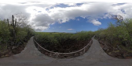
This scene is a image/jpeg type of scene.
It has links to these scenes:
Immersive 360-degree image showing the route toward the Cerro Tijeretas viewpoint. Points of interest about local flora can be seen. via a hotspot placed at {"x":1137.5878670942925,"y":-681.6372555882616,"z":-4869.460396909694}
Immersive 360-degree image continuing through the Interpretation Center. Points of interest to move forward along the route can be seen while learning about tourism in Galápagos. via a hotspot placed at {"x":-7.862516231344508,"y":-707.5138682054582,"z":4998.987404550545}
It also may have rich content in the form of Infospots.
A ext infospot which contains
{"h1":"San Cristóbal","h2":"San Cristóbal, whose capital is Puerto Baquerizo Moreno, is the fifth largest and easternmost island in Galápagos."}
A image infospot which contains
{"caption":"Educational image of palo santo. A trail is seen surrounded by dry vegetation and palo santo trees. Highlights its leaves, flowers, bark, and aromatic resin, as well as its importance within dry forests and as shelter for various species.","previewText":"Infographic: Palo Santo","image":{"userId":133447,"assetId":"iHIj_ubWH","name":"PALOSANTO.png","url":"https://gc.360-data.com/assets/133447/133447-4HqhSiYuNB-infospot.png","thumbUrl":"https://gc.360-data.com/assets/133447/133447-4HqhSiYuNB-thumb.png","assetType":"image","createdDate":null,"updatedDate":null,"shared":false,"copyCount":0,"numberOfUsesByTheOwner":0,"id":267788,"lastModifiedDate":"2026-06-23T03:45:41.439Z"}}
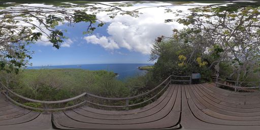
This scene is a image/jpeg type of scene.
It has links to these scenes:
Immersive 360-degree image showing the view from the Cerro Tijeretas viewpoint. Points of interest about the importance of the site and its characteristics can be seen. via a hotspot placed at {"x":-1361.4466767668112,"y":634.2950233448265,"z":-4818.378692714311}
Immersive 360-degree image showing the route toward the Cerro Tijeretas viewpoint. Points of interest about local fauna can be seen. via a hotspot placed at {"x":-3515.1205951283,"y":-2295.110923850085,"z":-2803.9470201453214}
It also may have rich content in the form of Infospots.
A image infospot which contains
{"caption":"Educational image of matazarno. A native tree with a wide canopy is seen growing in a dry ecosystem, with visible leaves, bark, and trunk. Highlights its drought resistance and its importance as shelter, shade, and food for wildlife.","previewText":"Infographic: Matazarno","image":{"userId":133447,"assetId":"1RDCzwhei","name":"MATAZARNO.png","url":"https://gc.360-data.com/assets/133447/133447-nWEwT7KZ0Z-infospot.png","thumbUrl":"https://gc.360-data.com/assets/133447/133447-nWEwT7KZ0Z-thumb.png","assetType":"image","createdDate":null,"updatedDate":null,"shared":false,"copyCount":0,"numberOfUsesByTheOwner":0,"id":267789,"lastModifiedDate":"2026-06-23T03:47:08.407Z"}}
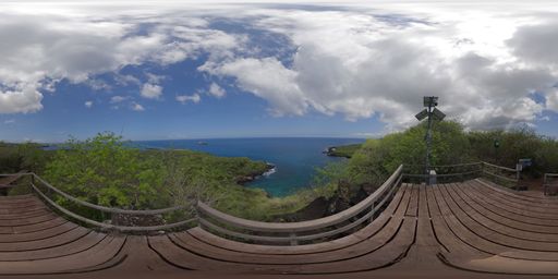
This scene is a image/jpeg type of scene.
It has links to these scenes:
Immersive 360-degree image showing the route toward the Cerro Tijeretas viewpoint. Points of interest about local flora can be seen. via a hotspot placed at {"x":-4609.139655123772,"y":-1561.785237707877,"z":1340.2029646711808}
Immersive 360-degree image showing the pier located at Cerro Tijeretas. Points of interest describing fish species that inhabit the area can be seen. via a hotspot placed at {"x":4506.736014639167,"y":-1857.136605547388,"z":1308.2910174681397}
It also may have rich content in the form of Infospots.
A image infospot which contains
{"caption":"Educational image of palo santo. A trail is seen surrounded by dry vegetation and palo santo trees. Highlights its leaves, flowers, bark, and aromatic resin, as well as its importance within dry forests and as shelter for various species.","previewText":"Infographic: Palo santo","image":{"userId":133447,"shared":false,"assetId":"tOSx-Rcvy","assetType":"image","name":"palosanto.png","url":"https://gc.360-data.com/assets/133447/133447-YJXXMccoSY-infospot.png","thumbUrl":"https://gc.360-data.com/assets/133447/133447-YJXXMccoSY-thumb.png","createdDate":null,"copyCount":0,"numberOfUsesByTheOwner":1,"picture":null,"userName":"Gabriela","tags":[]}}
A image infospot which contains
{"caption":"Educational image of the main lookout. A panoramic view of San Cristóbal's coastal landscape is shown, with vegetation, volcanic rocks, blue sea, and boats in the distance. Presents this point as a space for observing the natural and coastal environment.","previewText":"Infographic: Main lookout","image":{"userId":133447,"assetId":"lrHhQDR65","name":"MAINVIEWPOINT.png","url":"https://gc.360-data.com/assets/133447/133447-y4o8vYxd30-infospot.png","thumbUrl":"https://gc.360-data.com/assets/133447/133447-y4o8vYxd30-thumb.png","assetType":"image","createdDate":null,"updatedDate":null,"shared":false,"copyCount":0,"numberOfUsesByTheOwner":0,"id":267791,"lastModifiedDate":"2026-06-23T03:48:21.739Z"}}
A image infospot which contains
{"caption":"Educational image of Darwin Bay. A monument to Charles Darwin is shown in front of a coastal landscape with native vegetation and a sea view. Highlights the connection between history, nature, and conservation at an emblematic site on San Cristóbal.","previewText":"Infographic: Darwin Bay","image":{"userId":133447,"assetId":"XvTMyuXm4","name":"DARWINBAY.png","url":"https://gc.360-data.com/assets/133447/133447-tXDRBkIhAc-infospot.png","thumbUrl":"https://gc.360-data.com/assets/133447/133447-tXDRBkIhAc-thumb.png","assetType":"image","createdDate":null,"updatedDate":null,"shared":false,"copyCount":0,"numberOfUsesByTheOwner":0,"id":267792,"lastModifiedDate":"2026-06-23T03:54:42.009Z"}}
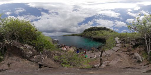
This scene is a image/jpeg type of scene.
It has links to these scenes:
Immersive 360-degree image showing the view from the Cerro Tijeretas viewpoint. Points of interest about the importance of the site and its characteristics can be seen. via a hotspot placed at {"x":1645.649100741671,"y":2165.4079422381556,"z":-4253.042915809272}
Immersive 360-degree image showing the Charles Darwin sculpture located at Cerro Tijeretas. Points of interest describing the importance of this monument can be seen. via a hotspot placed at {"x":-2491.172927180303,"y":284.50632719885544,"z":-4380.43329614657}
It also may have rich content in the form of Infospots.
A image infospot which contains
{"caption":"Educational image about the spinefoot fish. A group of silver fish with yellow lines and a dark spot near their pectoral fin are seen swimming over a reef. It illustrates their life in rocky and coral areas and their role in the marine ecosystem.","previewText":"Infographic: Spinefoot fish ","image":{"userId":133447,"assetId":"no37Ua27x","name":"SPINEFOOTGRUNT.png","url":"https://gc.360-data.com/assets/133447/133447-JA8hYnSySy-infospot.png","thumbUrl":"https://gc.360-data.com/assets/133447/133447-JA8hYnSySy-thumb.png","assetType":"image","createdDate":null,"updatedDate":null,"shared":false,"copyCount":0,"numberOfUsesByTheOwner":0,"id":267799,"lastModifiedDate":"2026-06-23T03:59:32.343Z"}}
A image infospot which contains
{"caption":"Educational image of the barberfish. A school of silver-gray fish with yellow tails is seen swimming over a reef. Highlights their algae-based diet and their contribution to maintaining clean, healthy reefs.","previewText":"Infographic: Barberfish","image":{"userId":133447,"assetId":"TwlHl1iyX","name":"BABERFISH.png","url":"https://gc.360-data.com/assets/133447/133447-g976FJrioel-infospot.png","thumbUrl":"https://gc.360-data.com/assets/133447/133447-g976FJrioel-thumb.png","assetType":"image","createdDate":null,"updatedDate":null,"shared":false,"copyCount":0,"numberOfUsesByTheOwner":0,"id":267797,"lastModifiedDate":"2026-06-23T03:57:58.833Z"}}
A image infospot which contains
{"caption":"Educational image of the golden-tailed snapper. An elongated reef fish with a blue-green body, golden stripes, and a yellow tail is seen swimming among corals. Highlights its habitat in rocky and coral reefs, its feeding behavior, and its ecological importance.","previewText":"Infographic: Golden-tailed snapper","image":{"userId":133447,"assetId":"QFRdETtV1","name":"BLUEANDGOLDFISH.png","url":"https://gc.360-data.com/assets/133447/133447-HKDJ3fmpG6x-infospot.png","thumbUrl":"https://gc.360-data.com/assets/133447/133447-HKDJ3fmpG6x-thumb.png","assetType":"image","createdDate":null,"updatedDate":null,"shared":false,"copyCount":0,"numberOfUsesByTheOwner":0,"id":267795,"lastModifiedDate":"2026-06-23T03:57:02.811Z"}}
A image infospot which contains
{"caption":"Educational image of the pelican barracuda. An elongated, silver fish is seen swimming over a reef, with a protruding lower jaw and a streamlined body. Highlights its speed, its role as an active predator, and its importance for marine balance.","previewText":"Infographic: Pelican barracuda","image":{"userId":133447,"assetId":"-HW3-r_1c","name":"PELICANBARRACUDA.png","url":"https://gc.360-data.com/assets/133447/133447-o9YxV4DSMy-infospot.png","thumbUrl":"https://gc.360-data.com/assets/133447/133447-o9YxV4DSMy-thumb.png","assetType":"image","createdDate":null,"updatedDate":null,"shared":false,"copyCount":0,"numberOfUsesByTheOwner":0,"id":267808,"lastModifiedDate":"2026-06-23T04:11:51.052Z"}}
A html infospot which contains
the title of Blue parrotfish feeding on algae and content
A html infospot which contains
the title of Interaction between blue parrotfish group and content
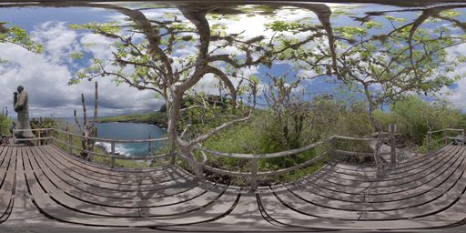
This scene is a image/jpeg type of scene.
It has links to these scenes:
Immersive 360-degree image showing the pier located at Cerro Tijeretas. Points of interest describing fish species that inhabit the area can be seen. via a hotspot placed at {"x":-903.0442389451819,"y":-2043.3908275909755,"z":4526.859630781138}
Immersive 360-degree image showing the Cerro Tijeretas route. Access points to Tijeretas Canyon or Punta Carola Beach can be seen. via a hotspot placed at {"x":-2846.4769335974865,"y":-2053.414707427035,"z":-3626.9124506194826}
It also may have rich content in the form of Infospots.
A ext infospot which contains
{"h1":"Charles Darwin Sculpture ","h2":"Charles Darwin arrived at the Galápagos Islands in 1835, first sighting San Cristóbal — then known as Chatham Island."}
A image infospot which contains
{"caption":"He was struck by the contrast between black lava and coral beaches. He observed giant tortoises and birds, noting specific differences between islands.","previewText":"Charles Darwin Sculpture","image":{"userId":133447,"assetId":"QQljCfovo","name":"Escultura Charles Darwin.jpg","url":"https://gc.360-data.com/assets/133447/133447-gPHQhjJE41-infospot.jpg","thumbUrl":"https://gc.360-data.com/assets/133447/133447-gPHQhjJE41-thumb.jpg","assetType":"image","createdDate":null,"updatedDate":null,"shared":false,"copyCount":0,"numberOfUsesByTheOwner":0,"id":263597,"lastModifiedDate":"2026-05-14T04:14:30.147Z"}}
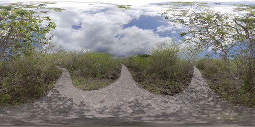
This scene is a image/jpeg type of scene.
It has links to these scenes:
Immersive 360-degree image showing a detailed view of the canyon located at Cerro Tijeretas. Points of interest containing details about this unique site can be seen. via a hotspot placed at {"x":-529.8137824610931,"y":-567.9778885628765,"z":-4987.313946396634}
Immersive 360-degree image showing the entrance to Punta Carola Beach. Access points to explore the beach or head toward the lighthouse can be seen. via a hotspot placed at {"x":5015.2829553302845,"y":-237.15199943248675,"z":513.230815504607}
Immersive 360-degree image showing the view from the secondary viewpoint at Cerro Tijeretas. Points of interest about cargo and tourist maritime transportation can be seen. via a hotspot placed at {"x":-20.253545535183214,"y":-623.3483452419156,"z":5010.239436265073}
Immersive 360-degree image showing the Charles Darwin sculpture located at Cerro Tijeretas. Points of interest describing the importance of this monument can be seen. via a hotspot placed at {"x":1295.9458394798144,"y":-4078.55493119198,"z":-2679.802335703981}
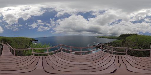
This scene is a image/jpeg type of scene.
It has links to these scenes:
Immersive 360-degree image showing the Cerro Tijeretas route. Access points to Tijeretas Canyon or Punta Carola Beach can be seen. via a hotspot placed at {"x":-4908.89735623469,"y":-1062.2657579809224,"z":494.2286264774571}
It also may have rich content in the form of Infospots.
A image infospot which contains
{"caption":"Educational image about cargo ships. It shows a vessel transporting containers at sea, with references to island supplies, the connection with the mainland, and biosecurity controls. It highlights their essential role in the daily life of the islands.","previewText":"Infographic: Cargo ships","image":{"userId":133447,"assetId":"lMkmEw6kr","name":"CARGOSHIPS.png","url":"https://gc.360-data.com/assets/133447/133447-lRe3EmxRgr-infospot.png","thumbUrl":"https://gc.360-data.com/assets/133447/133447-lRe3EmxRgr-thumb.png","assetType":"image","createdDate":null,"updatedDate":null,"shared":false,"copyCount":0,"numberOfUsesByTheOwner":0,"id":267815,"lastModifiedDate":"2026-06-23T04:19:05.730Z"}}
A image infospot which contains
{"caption":"Educational image about maritime tourism. It shows a tourist vessel sailing at sea, with references to authorized routes, naturalist guides, waste management, and wildlife protection. It highlights the importance of regulated tourism for conserving the Galapagos ecosystems.","previewText":"Infographic: Maritime tourism","image":{"userId":133447,"assetId":"R5Jzuc96G","name":"MARITIMETOURIS.png","url":"https://gc.360-data.com/assets/133447/133447-Rfm305Cg8E-infospot.png","thumbUrl":"https://gc.360-data.com/assets/133447/133447-Rfm305Cg8E-thumb.png","assetType":"image","createdDate":null,"updatedDate":null,"shared":false,"copyCount":0,"numberOfUsesByTheOwner":0,"id":267816,"lastModifiedDate":"2026-06-23T04:20:08.448Z"}}
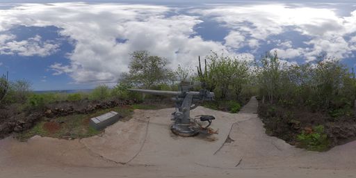
This scene is a image/jpeg type of scene.
It has links to these scenes:
Immersive 360-degree image showing the entrance to Punta Carola Beach. Access points to explore the beach or head toward the lighthouse can be seen. via a hotspot placed at {"x":1211.2383680185544,"y":-605.9751610087899,"z":-4863.715864895522}
It also may have rich content in the form of Infospots.
A image infospot which contains
{"caption":"Educational image of the Tijeretas cannon. A wooden informational sign is shown beside a historic war cannon linked to the history of San Cristóbal. Presents this site as part of the island's historical heritage and coastal memory.","previewText":"Infographic: Tijeretas cannon","image":{"userId":133447,"assetId":"kce8DIq0a","name":"TIJERETASCANNON.png","url":"https://gc.360-data.com/assets/133447/133447-HDxIi20X_B-infospot.png","thumbUrl":"https://gc.360-data.com/assets/133447/133447-HDxIi20X_B-thumb.png","assetType":"image","createdDate":null,"updatedDate":null,"shared":false,"copyCount":0,"numberOfUsesByTheOwner":0,"id":267818,"lastModifiedDate":"2026-06-23T04:21:35.258Z"}}
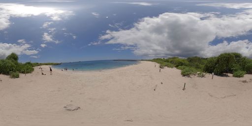
This scene is a image/jpeg type of scene.
It has links to these scenes:
Immersive 360-degree image showing the path toward the Punta Carola lighthouse. Points of interest about surfing activities carried out in the area can be seen. via a hotspot placed at {"x":4882.71849349921,"y":866.6508136208339,"z":946.8808836335719}
Immersive 360-degree image showing the Cerro Tijeretas route. Access points to Tijeretas Canyon or Punta Carola Beach can be seen. via a hotspot placed at {"x":-4183.742489885887,"y":-1137.2281785539192,"z":-2585.370207195801}
Immersive 360-degree image showing one end of Punta Carola Beach. Access points to explore the beach or head toward the lighthouse can be seen. via a hotspot placed at {"x":-2272.5522001254794,"y":-100.33943226966412,"z":4504.817270938518}
It also may have rich content in the form of Infospots.
A image infospot which contains
{"caption":"Educational image of a marine iguana nesting site. A marine iguana is seen on light sand, with references to nests, eggs, and hatchlings. Presents this place as a key site for the reproduction and continuity of this endemic species.","previewText":"Infographic: Marine iguana nesting site","image":{"userId":133447,"assetId":"YMZGCZOQs","name":"290148A0-129C-4639-9543-C447E4337841.png","url":"https://gc.360-data.com/assets/133447/133447-1bev8WZI9c-infospot.png","thumbUrl":"https://gc.360-data.com/assets/133447/133447-1bev8WZI9c-thumb.png","assetType":"image","createdDate":null,"updatedDate":null,"shared":false,"copyCount":0,"numberOfUsesByTheOwner":0,"id":267925,"lastModifiedDate":"2026-06-23T14:53:54.047Z"}}
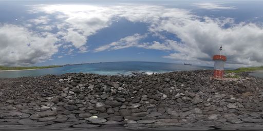
This scene is a image/jpeg type of scene.
It has links to these scenes:
Immersive 360-degree image showing the entrance to Punta Carola Beach. Access points to explore the beach or head toward the lighthouse can be seen. via a hotspot placed at {"x":-4999.410137930378,"y":-473.6269771336517,"z":500.5448017046977}
Immersive 360-degree image showing a detailed view of the Punta Carola lighthouse. Access points to explore the beach can be seen. via a hotspot placed at {"x":-1584.3013941085746,"y":-463.12234042883995,"z":-4770.741741157106}
It also may have rich content in the form of Infospots.
A image infospot which contains
{"caption":"A sport tourism destination and a strategic point for surfing.","previewText":"Ola Carola","image":{"userId":133447,"assetId":"6Bxr6DJB7","name":"Ola Carola.JPG","url":"https://gc.360-data.com/assets/133447/133447-VsIYbR_lR6-infospot.jpg","thumbUrl":"https://gc.360-data.com/assets/133447/133447-VsIYbR_lR6-thumb.jpg","assetType":"image","createdDate":null,"updatedDate":null,"shared":false,"copyCount":0,"numberOfUsesByTheOwner":0,"id":263605,"lastModifiedDate":"2026-05-14T04:39:52.953Z"}}
A image infospot which contains
{"caption":"Educational image of a surf spot at Punta Carola Beach. A person is seen surfing a wave, surrounded by a marine landscape and references to coastal wildlife. Highlights this site for its consistent waves, natural beauty, and responsible surfing practice.","previewText":"Infographic: Surf at Punta Carola","image":{"userId":133447,"assetId":"mb_YgOTAg","name":"Carolaola.png","url":"https://gc.360-data.com/assets/133447/133447-WKiq6BcLKk-infospot.png","thumbUrl":"https://gc.360-data.com/assets/133447/133447-WKiq6BcLKk-thumb.png","assetType":"image","createdDate":null,"updatedDate":null,"shared":false,"copyCount":0,"numberOfUsesByTheOwner":0,"id":265867,"lastModifiedDate":"2026-06-04T03:55:33.644Z"}}
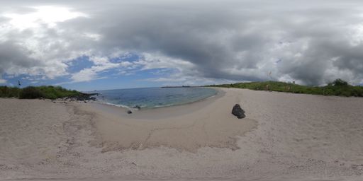
This scene is a image/jpeg type of scene.
It has links to these scenes:
Immersive 360-degree image showing the entrance to Punta Carola Beach. Access points to explore the beach or head toward the lighthouse can be seen. via a hotspot placed at {"x":3162.024452470317,"y":333.30368507174654,"z":-3920.281053533663}
Immersive 360-degree image showing a detailed view of the Punta Carola lighthouse. Access points to explore the beach can be seen. via a hotspot placed at {"x":4828.864634291645,"y":463.17829149302025,"z":1391.544142437828}
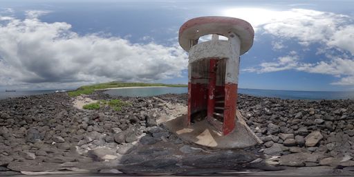
This scene is a image/jpeg type of scene.
It has links to these scenes:
Immersive 360-degree image showing the entrance to Punta Carola Beach. Access points to explore the beach or head toward the lighthouse can be seen. via a hotspot placed at {"x":3309.0605145384793,"y":281.88847680763433,"z":3799.9258122119363}
It also may have rich content in the form of Infospots.
A html infospot which contains
the title of Marine iguana feeding on algae and content
This tour was created on Mon Jun 22 2026 15:39:02 GMT+0000 (Coordinated Universal Time)